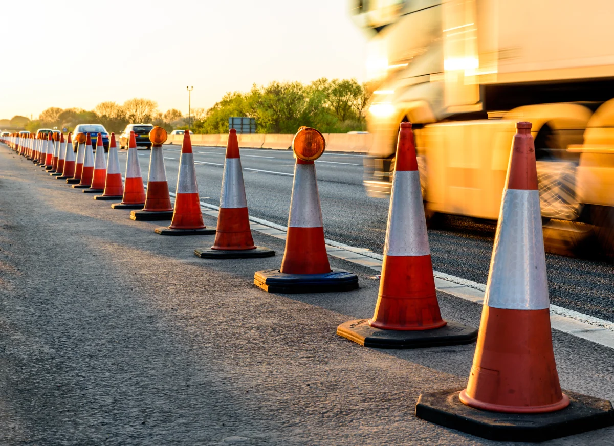
Are you able to route your way out of roadworks?

Roadwork gridlock is expected to increase causing congestion and inconvenience. Data released by Causeway, who now own one.network - the UK’s website where all roadworks are registered, has revealed that between 2019 and 2023 roadworks increased by 42% across the UK. In addition, the Department of Transport has projected that by 2060, road usage will have increased by 54%.
A large proportion of local highway authorities and utility companies’ leaders believe we are heading for more gridlocks by 2030 if collaboration is not improved. Causeway also revealed that the number of utility works is rising rapidly, in the last 4 years fixing water and gas leaks was up 8%, installing fibre optics as part of project Gigabit was up 108%, while electricity infrastructure roadworks increased by 25%.
National Highways are planning over 136 road schemes on routes across England. This includes major projects such as the Lower Thames Crossing, A303 Stonehenge and the A428 Black Cat to Caxton Gibbet for journeys between Milton Keynes and Cambridge, not to mention the recent M25 closures for bridge replacements.
Between April 2022 and March 2023 National Highways resurfaced 148 miles of motorway and major A roads, replaced 100 miles of safety barriers and 84,000 lighting studs, erected 1275 traffic signs and made safety improvements at 23 junctions. In 2024 National Highways are upgrading the concrete roads that were installed more than 40 years ago, these include the A11, A12 and A14.
With so many road improvement schemes taking place across the UK in the next few years, disruption is to be expected. The RHA recently reported that an HGV stuck for an hour in stationary traffic will cost £120. It is therefore vital that road haulage and delivery companies use route planning software that can route vehicles away from congestion problems caused by road works or road traffic accidents as they become identified and select the best routes based on the very latest traffic data.
Descartes’ route optimisation software uses the latest road network data, including traffic flows at time of travel, the day of the week, and even the direction of travel, when calculating the best route for a delivery. Our vehicle telematics and mobile apps enable planners and controllers to see, in real-time, the location of their vehicles on a computer screen as an overlay on a map of the planned routes for deliveries, easily enabling controllers to reroute vehicles and update customers on the progress of their deliveries. Better route plans improve delivery times and enable companies to increase their delivery capacity while also reducing their carbon footprint.
Contact us for further information on these routing and planning solutions.
